With the rapid development of UAV technology, sensors become an important component to enhance the function of the drone. Application CapabilitiesThis paper will explore various types of UAV sensor technologies in detail, including radar, thermal sensors, infrared thermal imaging sensors, sensors, etc., and analyze them in the areas of measurement, navigation, and environmental sensingArticle explores how to choose the right sensor, the advantages and challenges of sensor technology, and the future development trend.
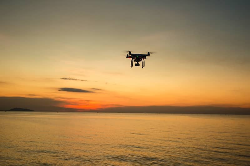
Table of Contents
What sensors does a UAV have?
1. LiDAR UAV sensors
LiDAR UAV sensors utilize laser beams to scan the surrounding environment and accurately measure the distance through reflected laser signals to obtain high-precision three-dimensional data of the ground or objects. These sensors are widely used in terrain mapping, forest surveys and urban modeling. The radar sensor not only produces highly detailed 3D models, but also operates effectively in adverse weather conditions (e.g., low light or haze).
2. UAV Thermal Sensors
UAV thermal sensors are used to detect the heat emitted by an object and are often used in building inspections, power line inspections, search and rescue missions, etc. By monitoring the temperature difference, the thermal sensors are able to generate highly detailed 3D models. By monitoring temperature differences, thermal sensors can detect the location of heat sources, identify electrical equipment malfunctions or locate missing persons. The sensor’s ability to operate in dark environments is critical for real-time detection.
3. Infrared Thermal Imaging Sensors
Infrared thermography sensors can produce thermal images of living organisms, recognizing temperature differences and using them to detect potential sources of fire or equipment malfunction. In UAVs, infrared thermal imaging sensors are widely used in forest fire monitoring, search and rescue missions, and industrial facility inspections. The technology can help operators to recognize objects or activities in the absence of light.
4. Visual Sensors
Visual sensors include high-definition cameras, stereoscopic cameras and multi-spectral cameras, etc., which can be used to realize environmental awareness by capturing images and videos. Visual sensors can be used for target tracking, object recognition, obstacle avoidance and ground monitoring. Especially in the fields of agriculture, construction and post-disaster assessment, visual sensors show great potential for application
5. Ultrasonic sensorsrs
Ultrasonic sensors measure the distance of an object by emitting sound waves and receiving reflected waves. It is widely used in the obstacle avoidance system of UAVs to prevent collision between UAVs and objects by measuring the distance between the aircraft and the obstacles in real time. Ultrasonic sensors can also be used for near-range precision ranging and localization.
6. NDVI Sensor
NDVI (Normalized Difference Vegetation Index) sensors are primarily used in agriculture to assess crop health based on spectral data reflected from vegetation. By analyzing reflections in the red and near-infrared light bands, NDVI sensors help farmers monitor issues such as soil moisture, crop growth, and pests and diseases to optimize agricultural management.
7. Airspeed Sensor
Airspeed sensor is a key device used to measure the flight speed of a UAV. By monitoring the velocity difference between the aircraft and the air, the airspeed sensor can provide real-time flight data to help adjust the flight attitude and ensure flight stability. The sensor plays a critical role in the automatic navigation and flight control system of the UAV.
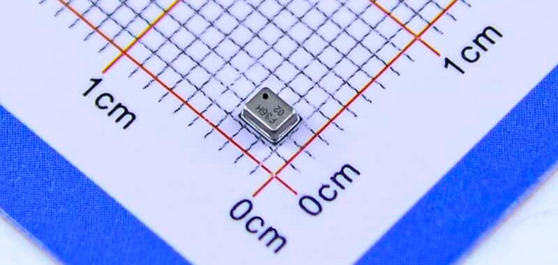
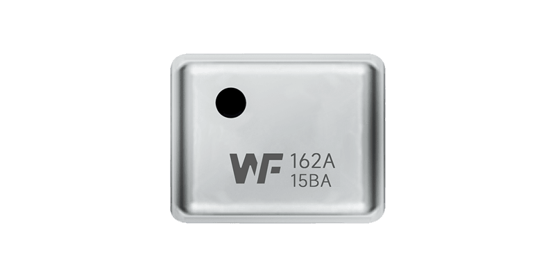
8. Air Pressure Sensor
Air pressure sensors are used to measure atmospheric pressure, through the measurement of air pressure, the altitude and elevation of the UAV can be deduced. Combined with other navigation sensors (e.g. GPS, IMU), pressure sensors can realize precise flight control. Especially at high altitude or in complex atmospheric conditions, the barometric pressure sensor can provide reliable altitude data.

9. Electromagnetic Field Sensors
Electromagnetic field sensors are used to monitor the strength of the electromagnetic field in the surrounding environment and are widely used in tasks such as inspection of electrical facilities and radio spectrum monitoring. In a UAV, this sensor can instantly detect changes in electromagnetic waves near power facilities, helping to detect power equipment failures and safety hazards.
10. Temperature and Humidity Sensor
Temperature and humidity sensors can measure the temperature and humidity of the environment, which is crucial for agriculture, weather monitoring and environmental monitoring. Temperature and humidity sensors on board UAVs can help to instantly monitor the climate of a farm field, the air quality of an industrial facility, or the humidity distribution in the atmosphere.
11. Sonar Sensors
Sonar sensors are used in underwater exploration and oceanographic surveys to measure the distance of underwater objects through the reflection of sound waves. A UAV equipped with a sonar sensor can perform underwater search tasks, which are widely used in underwater archaeology, marine survey and fishery monitoring.
12. Anemometer Sensor
Anemometer sensors are used to measure wind speed and direction, which are crucial for UAV flight. Accurate wind speed data can help the UAV avoid strong wind areas, adjust the flight path, and maintain flight stability. Anemometer sensors are commonly used in meteorological monitoring, agriculture, and aerial photography missions.
What do these sensors do?
The various sensors on a UAV play a critical role in enhancing the performance of the UAV and increasing operational accuracy and safety. Their main roles include:
- LiDAR sensors: Scanning the surrounding environment with laser beams to produce high-precision 3D maps, which are widely used in terrain mapping, building modeling, and forest surveys.
- Thermal sensors and infrared thermal imaging sensors: They can detect heat sources and help UAVs carry out tasks such as search and rescue, fire monitoring, and equipment malfunction detection in a lightless environment.
- Visual sensors: Capture images and videos for target identification, object detection and obstacle avoidance, widely used in automatic navigation and environment sensing of UAVs.
- Ultrasonic sensor: Measure the distance between the aircraft and the obstacle, commonly used in close-range obstacle avoidance, precise positioning and obstacle detection.
- NDVI Sensor: Used in agricultural applications to detect crop health, assess soil moisture, crop growth, and pest and disease problems.
- Airspeed Sensor: Measure the relative speed between the UAV and the air to ensure that the vehicle operates under proper flight conditions.
- Air Pressure Sensor: Accurately measure the air pressure changes, used to project the flight altitude, altitude and detect the air pressure fluctuations. It is often used in combination with other navigation sensors to provide reliable flight control data.
- Electromagnetic field sensor: Monitoring the strength of the surrounding electromagnetic field, applied to the inspection of electrical facilities, radio spectrum monitoring.
- Temperature and humidity sensor: Real-time monitoring of environmental temperature and humidity data, used in meteorological monitoring, agricultural environmental control and other fields.
- Sonar sensor: measuring the distance of underwater objects by acoustic wave reflection, commonly used in underwater exploration, oceanographic surveys and water monitoring.
- Anemometer Sensor: Measure wind speed and direction to help the UAV understand the flight environment, adjust the flight attitude and ensure flight stability.
What is the payload of a UAV's sensors?
The type and function of the sensor determines its role in the mission. For example, optical sensors can be used to create terrain maps, infrared sensors can detect heat sources, and visual sensors are used for target identification and obstacle avoidance. Payload is not only the basis for UAV mission accomplishment, but also directly affects the design and loading capability of the UAV.
How does the air pressure sensor accurately measure altitude and air pressure and altitude?
Air pressure sensors determine the altitude and altitude of a UAV’s flight by measuring changes in atmospheric pressure. They operate based on a relationship between air pressure and altitude:
Application: Barometric sensors are often used in conjunction with other navigation sensors (e.g., GPS) to provide accurate barometric pressure data to help the UAV maintain a stable flight attitude at different altitudes. Air pressure sensors are commonly used for low altitude flights and in environments with high climate variability, and are particularly suited for long duration, continuous operations.

What is the best sensor to use?
Choosing the right sensor depends on the UAV’s application, mission requirements, and working environment. Below are a few common sensor recommendations.
1. Agricultural monitoring:
If the UAV is mainly used for agricultural inspection and crop health monitoring, NDVI sensor is the most suitable choice because it can assess the health status of vegetation by measuring the reflected light spectrum of plants.
2. Terrain Surveying and Mapping:
For precise terrain mapping and high-precision map creation, LiDAR sensors are the best choice. It can provide high-resolution three-dimensional data and work stably under different weather conditions.
3. Search and rescue missions:
In low-light or unfavorable weather conditions, thermal sensors or infrared thermal imaging sensors are ideal to help quickly discover heat sources and locate targets.
4. Industrial Inspection:
In industrial facility inspections, such as power line inspections, a combination of visual sensors and infrared thermal imaging sensors can be used to better detect equipment failures and overheating problems.
5. Flight control and navigation:
If the mission requires long flight times and precise control of altitude and elevation, air pressure and airspeed sensors are indispensable to provide stable flight data.
6. Underwater detection:
If the mission is carried out in an underwater environment, such as underwater investigation or search, sonar sensors are necessary to help detect underwater obstacles or objects.
Benefits and Challenges of Sensor Technology
Strengths
- High Accuracy and Reliability: The latest sensor technology can provide high accuracy data measurement, which provides strong support for various applications of the UAV.
- Multi-functional integration: With the advancement of sensor technology, the ability to integrate multiple sensors is greatly improved, which enhances the intelligence and automation level of the UAV.
- Real-time Data Processing: With advanced sensor technology, the UAV is able to acquire environmental information in real-time and respond with quick decision-making.
Challenges
- Environmental adaptability: Sensors may be affected by temperature, humidity and other factors in complex environments, so how to improve the adaptability of sensors is one of the current technical challenges.
- Battery life and weight: High-precision sensors often require more power support, which may affect the UAV’s range. In addition, the weight of the sensors is a critical factor to be balanced in the design.
- Data Processing and Integration: When multiple sensors work together, how to efficiently process and integrate data from different sensors to improve system performance is another technical challenge.
Trends in Sensor Technology
As UAV applications continue to expand, sensor technology continues to evolve. In the future, UAV sensors will develop in the direction of higher integration, stronger intelligence, and lower power consumption. In particular, the combination of AI and machine learning will enable sensors to learn and adapt to different environments, thus enhancing the autonomy and intelligent decision-making ability of the UAV.
Conclusion
UAV sensor technology is driving the transformation of UAVs from simple flight platforms to intelligent multi-functional carriers. Whether in agriculture, environmental protection, logistics, search and rescue, or other fields, sensor technology provides strong support for precise operation and real-time data collection. As technology continues to advance, future UAVs will become smarter, more accurate and more efficient, bringing more innovative applications to various industries.
I couldn’t resist commеnting. Well written!